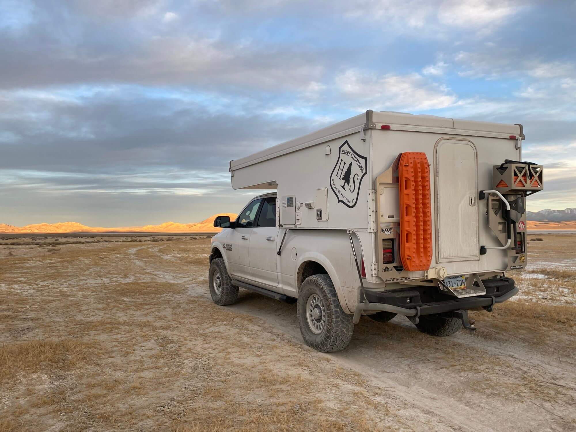
When most people think about Nevada, they think of the Las Vegas Strip. The truth is Area 51 is probably a more accurate stereotype than the glitz and glamor of the Strip. Nevada has lots of wide-open spaces. Sure, some of them are behind fences and razor wire, but most of them are open to the public. Nevada has the highest percentage of BLM land in the nation at 63%. Nevada also has the most mountain ranges in US. There are over 150 mountain ranges in Nevada and 30 peaks over 11,000 feet, including Arc Dome in the Toiyabe Range at 11,788 feet. That was just one of our stops during our long weekend spent exploring what Nevada had to offer.
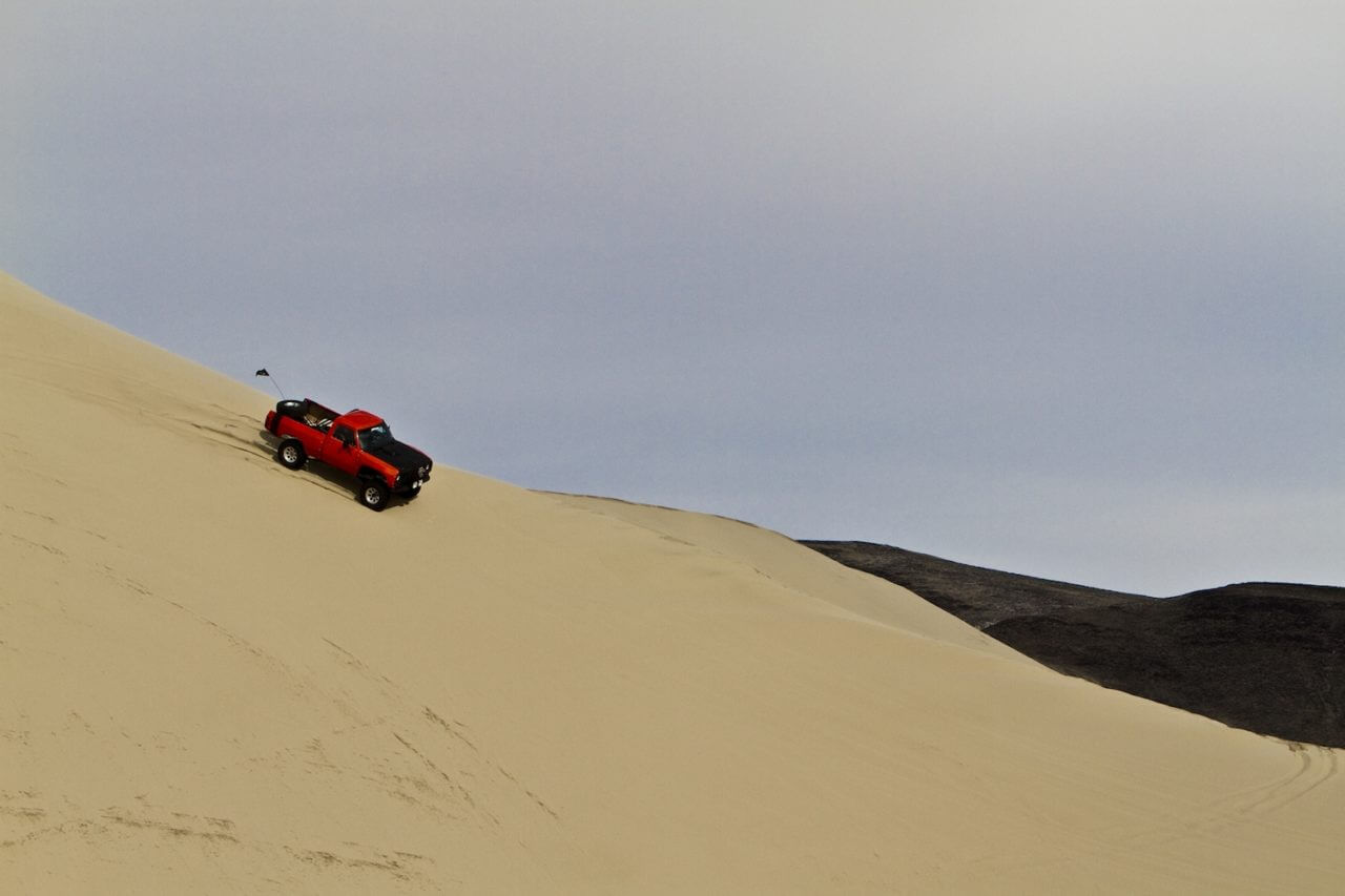
Our drive took us past Sand Mountain, outside of Fallon. This is a popular spot to play in the dunes, and on holiday weekends like Thanksgiving and Easter it gets downright crazy. Not Glamis crazy, but expect big crowds during the holidays. It is too hot to enjoy during the summer, but the spring and fall are great times to visit.
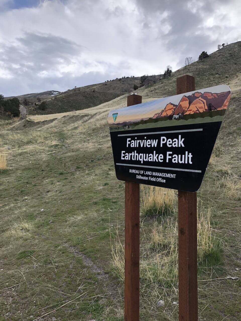
Half way between Fallon and Austin on Highway 50 (aka the Loneliest Highway in America) there is a sign for these earthquake faults. Have you ever driven past a sign repeatedly and told yourself each time “Someday I am going to check that out?” Well, this was our someday. In the 1954, a magnitude 7.3 earthquake struck this area, exposing bare rock along the face of the fault.
Our journey started in Reno and took us east to Fallon where we hopped on “The Loneliest Highway in America”. We passed Sand Mountain, which looks exactly like it sounds like, before hitting Middlegate for one of their famous hamburgers. From there we peeled off of Highway 50 onto Highway 2, which took us over the Desatoya Range, the first but certainly not the last, range that we would cross on our adventure. We passed a dry lakebed on our way to Reese River Valley, with the Toiyabe Range looming to the east of us. Our stop for the night was Big Creek Campground, and we had it all to ourselves. One of the perks of everyone thinking Nevada is barren is the lack of crowds compared to more popular destinations like Alabama Hills or Death Valley.
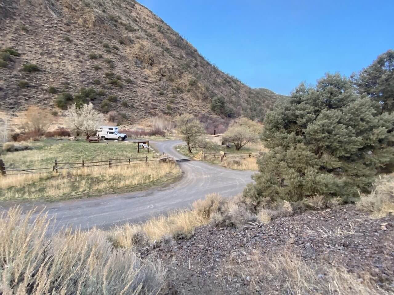
We camped at the Big Creek Campground and had the entire area to ourselves. This location had fire pits, picnic tables, and pit toilets. As the name implies, Big Creek runs just behind the camp. If you have a Nevada fishing license, try your luck for the brook trout found lurking in the shadows.
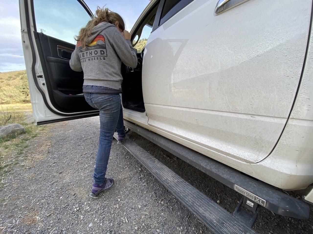
Ram HD trucks are tall from the factory, and adding a lift kit and 37-inch Nitto Ridge Grapplers just made it taller. Fortunately, Amp Research Powerstep XLs make the truck easy to get in and out of. The XLs are unique in that they include these rocker protectors and lower three inches more than the standard Powerstep.
The next morning, we headed over the Toiyabe Range into Kingston Canyon and the town of Kingston.
This area is becoming a mountain bike mecca and is also home to the Toiyabe Crest Trail, consisting of over 70 miles of trail atop the ridge, 30 miles of which travel through the Arc Dome Wilderness. It travels through one of the longest roadless areas in the state, and sits atop the longest mountain range in Nevada at over 120 miles long. It is the longest continuous maintained trail in Nevada. The road to Kingston climbed through the mountains and crossed Big Creek in numerous locations, but none of the crossings was more than a foot deep during our visit.
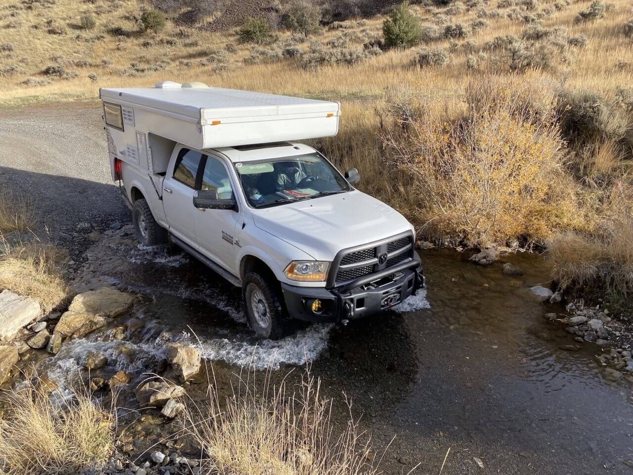
Water is scarce in the desert, which makes it a great place to look for wild animals and birds. The road over Kingston Pass crosses the drainage numerous times, but none of the crossings were more than a foot deep during out visit. In the springtime when there is more runoff that can be a different story.
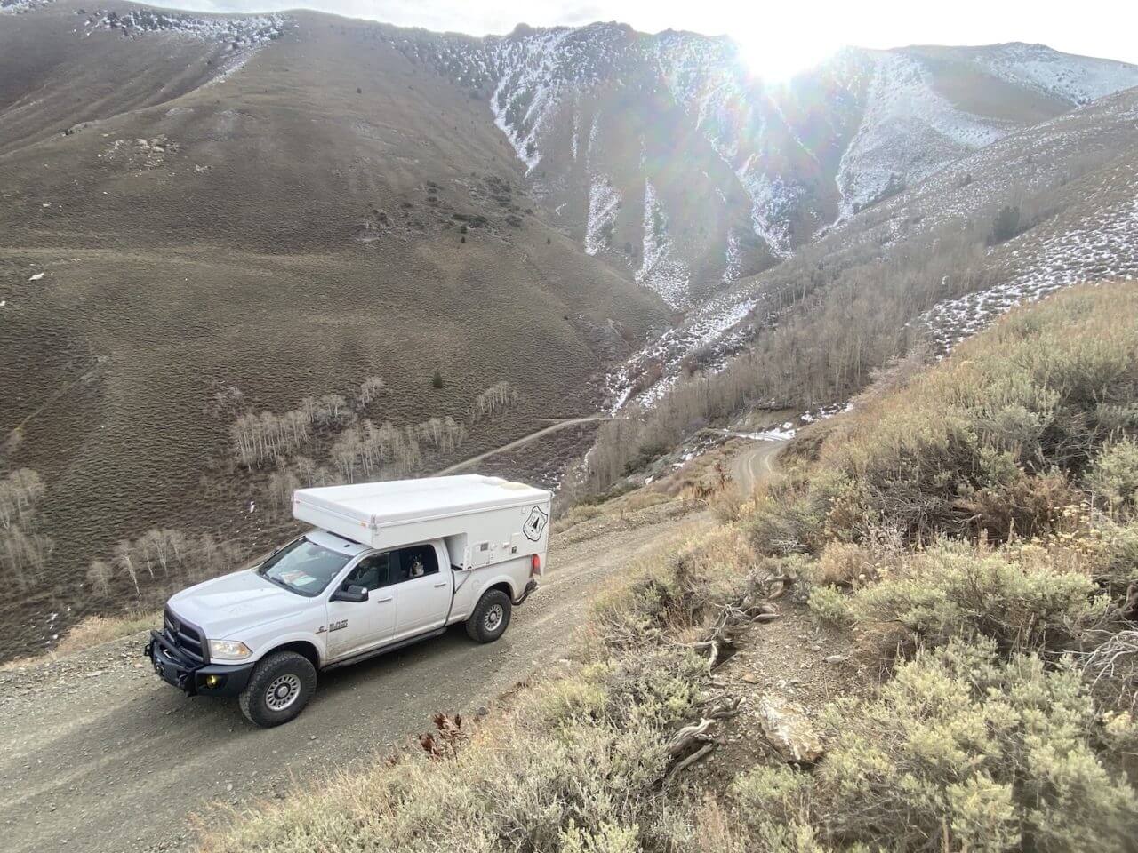
Climbing through the Toiyabe Range takes you up to an elevation over 7,000 feet, with 11,000-foot peaks above you. The range starts in northwestern Nye County north of Tonopah, Nevada and runs approximately 120 miles into southern Lander County, making it the second longest range in the state.
Most of the mountain ranges in Nevada run north-south, uplifted hundreds of thousands of years ago, segmenting the Great Basin into hundreds of valleys leading to the Great Salt Lake on the Utah border. Kingston sits in the Big Smoky Valley, between the Toiyabe Range to the west and the Toquima Range to the east. The valley was called Wen-A-No-Nu-Fee Valley by the Shoshone people who originally lived here, but settlers called it the Big Smoky Valley for the dust and smoke that seem to hang in the air. With a population of only 113, there are few amenities (and no stop lights) in Kingston but, like many towns in the old west, there is a saloon. It was too early in the day for us to make a stop at Zach’s Lucky Spur Saloon, but if you show up in the evening, they will be happy to pour you a drink and share a story.
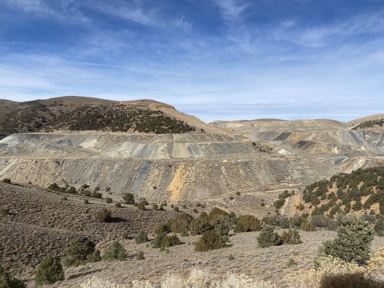
The Northumberland Mine is reported to have produced over 327,000 ounces of gold since it began production in 1939. The mine is developed by a three open pits; with an ore crusher and mill building; all on the site of earlier extensive underground workings consisting of 4000 feet of development.
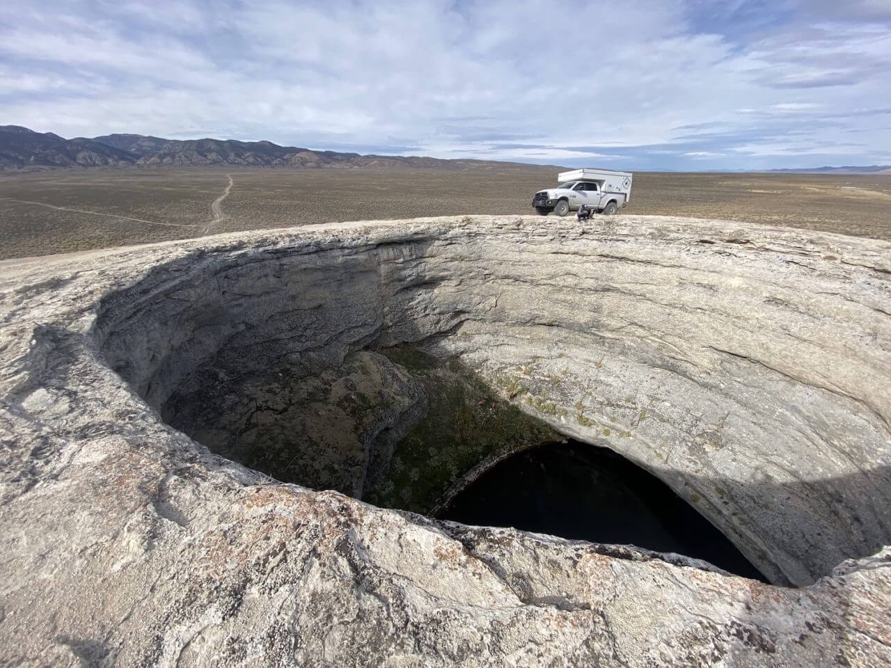
If you go to the middle of nowhere, and then keep going another 50 miles, you will reach Diana’s Punchbowl. This hill is about 600 feet across and 50 feet high, with a hot spring in the middle. The feature was formed from travertine that has traveled to the surface over thousands of years. Hot water carrying dissolved limestone has moved from beneath the surface of the earth to this location through a fault, creating the hill.
Our route took us across the Big Smoky Valley and into the Toquima Range, which is dotted with active and abandoned mining operations. The highest point in this range in Mount Jefferson at 11,949 feet, at the south end of the Toquima Range. We dropped into Monitor Valley and turned north on Route 82, which is a well-maintained gravel road. Our destination was Diana’s Punchbowl, a travertine dome with a hot spring in the middle that is unlike anything we had ever seen before. The remote nature of this location meant that we had it all to ourselves. The same was true as we went north past the abandoned Potts Ranch and to the geographic center of Nevada, which is marked with a small flag a road intersection of NV-82 and NF-001.
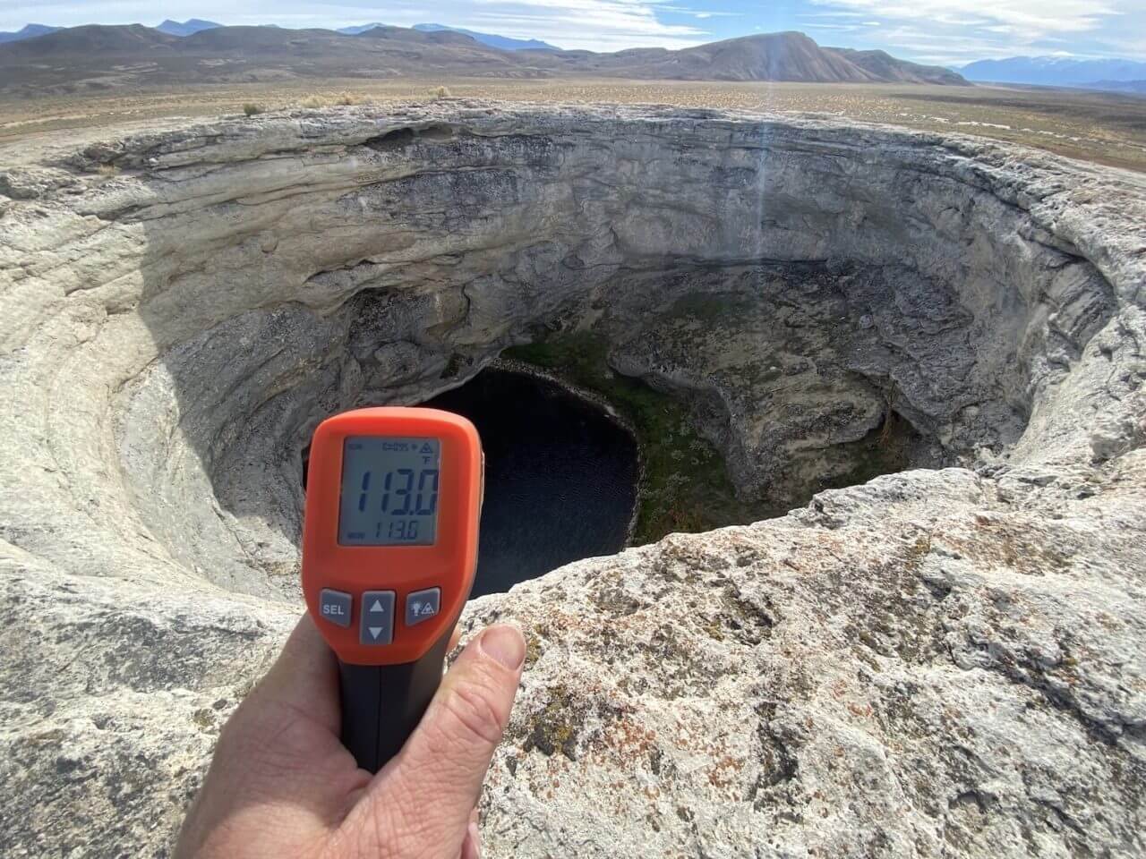
If you like to visit hot springs (or want to troubleshoot your cooling system), an infrared temperature gun is a handy tool to carry with you. In this case, 113 degrees is a little warm for a soak. That is assuming that you could even get down into the cauldron and back out safely.
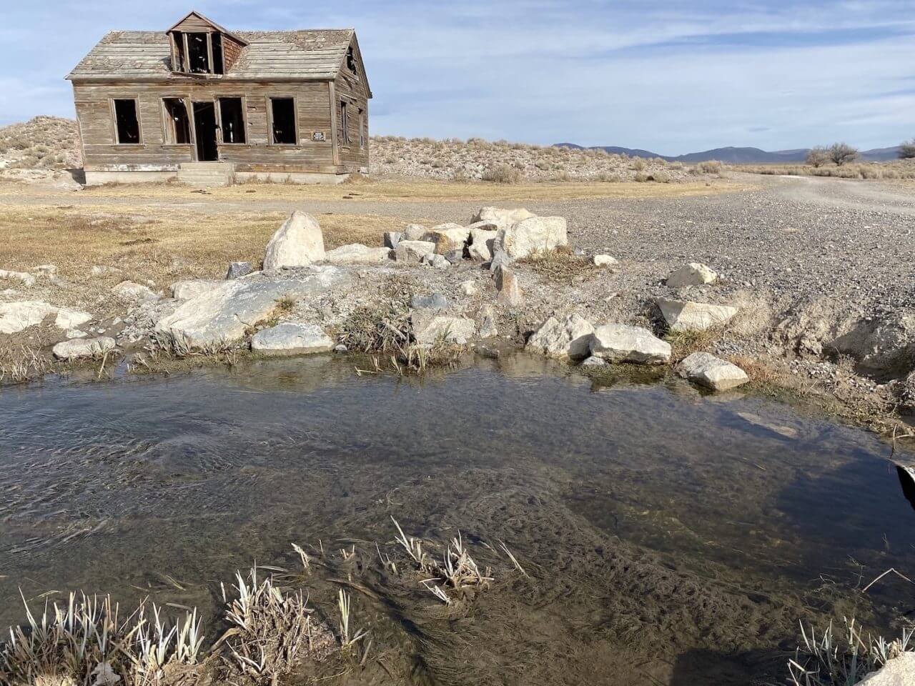
Potts Ranch has been abandoned for over 70 years, but many of the structures are still standing. This spot was once thriving, and was even granted a post office in 1893. Various members of the Potts family acted as postmasters for nearly 50 years, until the post closed in 1941 at the outset of World War II.
We continued north on NV-82 until we linked back up with Highway 50 east of Austin, Nevada. Once back on pavement we started to see more traffic, we are always amazed at how leaving the pavement leaves the crowds behind. You don’t need to be on the Rubicon either, even smooth graded roads will typically be devoid of all but mining and ranching trucks. Our last stop before turning west back towards Reno was Spencer Hot Springs and Hickison Petroglyph Recreation Area. This well-known area is only a few miles off the highway, so you will likely be disappointed if you want to have it all to yourself. The good news is that there are several tubs to soak in and people are generally friendly, so you can usually find a spot to soak and wash off the dust. Two of the spots are man-made pools constructed from metal cattle troughs (aka cowboy tubs) while the other has a natural soft bottom. A fourth cowboy tub can oftentimes be accessed, but is significantly cooler than the others. At the source, water temperatures are consistently around 130 degrees Fahrenheit, and but by the time they reach the tubs they are manageable around 104 degrees.
Named after ranch owner John Hickerson, the petroglyphs at Hickison Recreation Area are drawn across three large slabs and are evidence of prehistoric hunting and dwelling sites dating all the way back to 10,000 B.C. At the time they were created, Monitor Valley still contained water as part of Lake Tonopah. Throughout time the region became arid, the lakes evaporated and the hunter-gatherers soon replaced the previous lake-dependent cultures in this area. The Shoshone were the only occupants of this countryside until the mid-1800s, when settlers made their way west. Along with the already established Pony Express route and the Overland Trail, explorers like John C. Fremont and James H. Simpson passed through the area. We followed their tracks west into the setting sun, but we vowed to return soon and explore more. Nevada has so much more to offer than just lounge acts and slot machines.
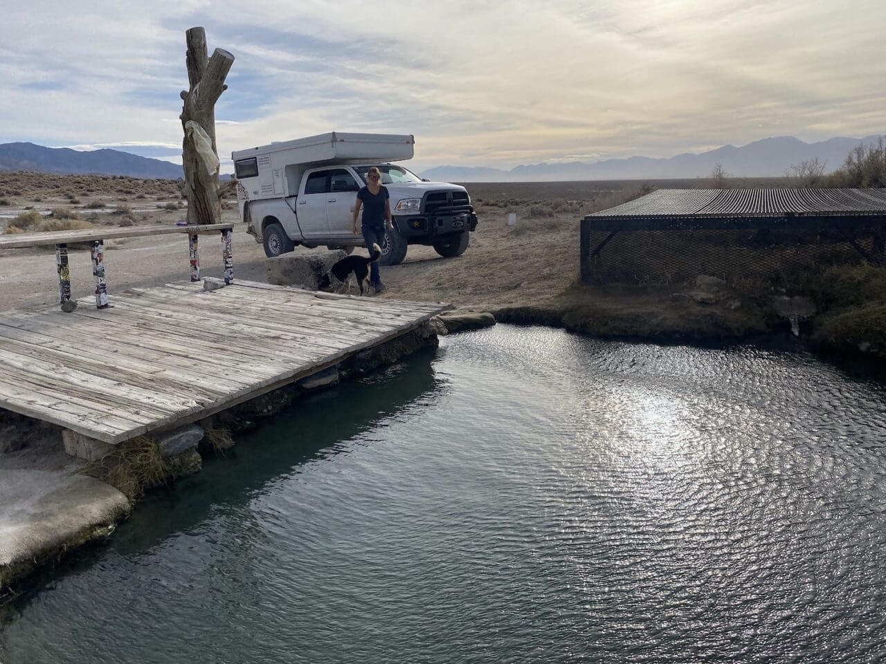
Our last stop on the trip was at Spencer Hot Springs, east of Austin, Nevada. This is a popular spot to soak with multiple tubs and dispersed, primitive camping. If you come here, please be respectful of others and don’t camp right on top of the hot springs, litter, or bring any glass bottles that could potentially break.


2